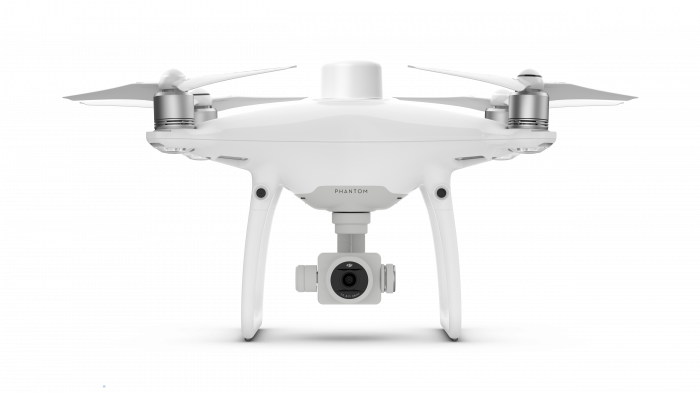
PHANTOM 4 RTK (new)
Sold By:
DJI
China
Midstream Downstream
China
DJI
(SKU: 1)
-
-
China
Midstream Downstream
China
DJI
(SKU: 1)
-
-
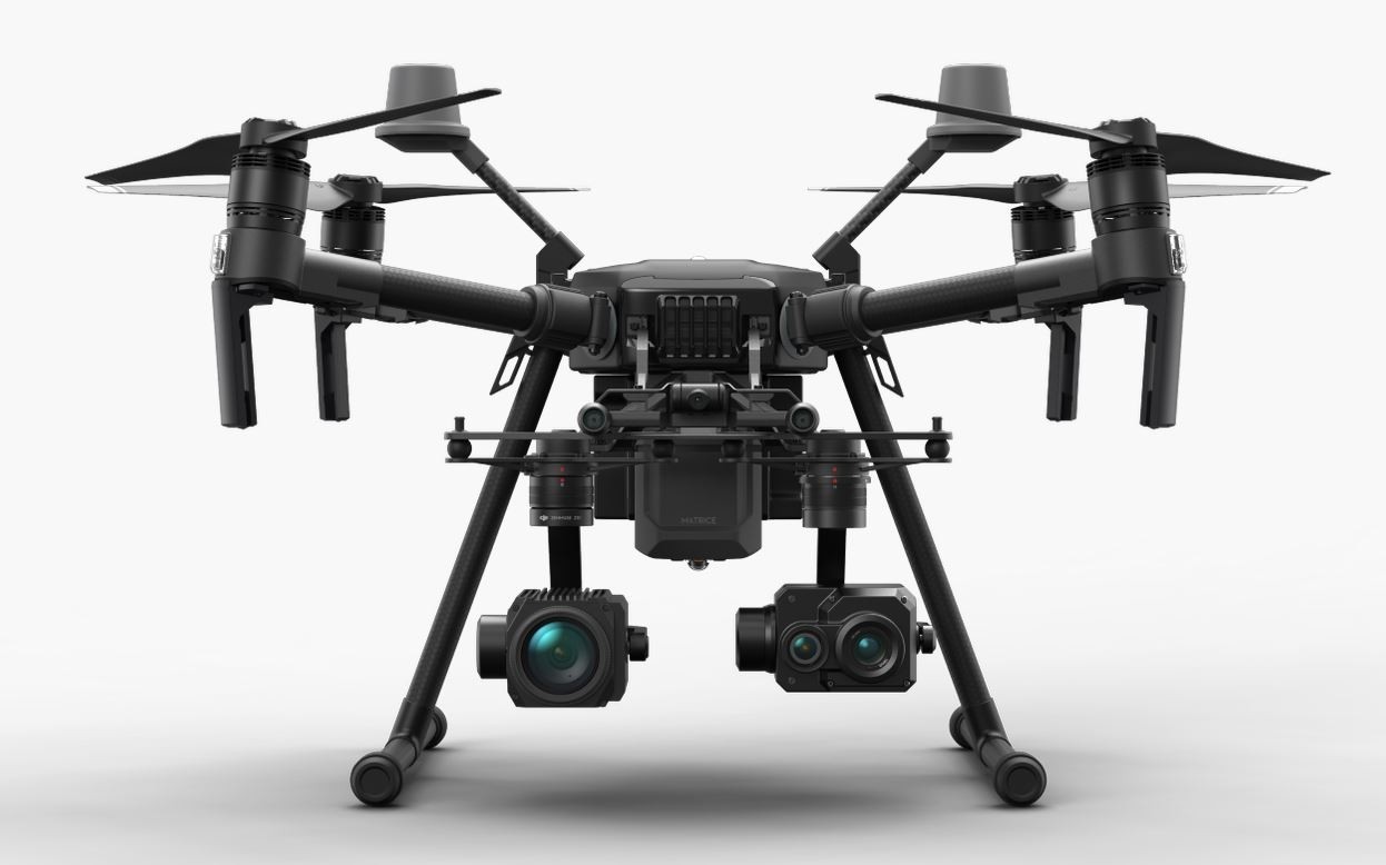
Upgrade your next mapping mission with the Phantom 4 RTK – the most compact and accurate low altitude mapping solution. DJI has rethought its drone technology from the ground-up, revolutionizing its systems to achieve a new standard for drone accuracy – offering Phantom 4 RTK customers centimeter-accurate data while requiring fewer ground control points.
A new RTK module is integrated directly into the Phantom 4 RTK, providing real-time, centimeter-level positioning data for improved absolute accuracy on image metadata. In addition to optimized flight safety and precise data collection, the Phantom 4 RTK stores satellite observation data to be used for Post Processed Kinematics (PPK), which can be conducted using DJI Cloud PPK Service*. Fit the Phantom 4 RTK to any workflow, with the ability to connect this positioning system to the D-RTK 2 High Precision GNSS Mobile Station, or NTRIP (Network Transport of RTCM via Internet Protocol) using a 4G dongle or WiFi hotspot.
To take full advantage of the Phantom 4 RTK’s positioning modules, the new TimeSync system was created to continually align the flight controller, camera and RTK module. Additionally, TimeSync ensures each photo uses the most accurate metadata and fixes the positioning data to optical center of the lens – optimizing the results from photogrammetric methods and letting the image achieve centimeter-level positioning data.
Feature
Source - https://www.dji.com/phantom-4-rtk?site=brandsite&from=nav
China-based DJI is one of the most recognized drone companies in the world. Known for its unparalleled commitment in the area of R&D, the company’s product portfolio combines advanced technology with dynamic designs.
The firm currently employs a global workforce to bring about the much-needed transformation in the drone sector. Apart from its headquarters in Shenzhen, DJI has offices in the United States, Hong Kong, the Netherlands, Beijing, Japan, Shanghai, South Korea, and Germany. Through its innovative features and unique offering, DJI has redefined the way inspection and surveying operations were performed in the industries.
Shenzhen Dajiang Baiwang Technology Co., which is a subsidiary of DJI, is responsible for producing the products. A high-tech manufacturing facility, Dajiang Baiwang has been awarded the ISO 9001:2015 Quality Management System Certification. It also cleared the SGS ISO 14001:2015 Environmental Management System Certification.
Product Code
-
Model Number
-
Condition Notes
-
Length
-
Height
-
Weight
-
Width
-
Shipping Length
-
Shipping Height
-
Shipping Weight
-
Shipping Width
-
Undisclosed
Undisclosed
Undisclosed
Undisclosed
Undisclosed
Undisclosed
Undisclosed
Undisclosed
Undisclosed
Undisclosed
Undisclosed
Undisclosed
Undisclosed
Undisclosed
Undisclosed
Link: